

Ecopia AI Partners with Snap Inc. Subsidiary to Pilot 3D Map Content Integration
Ecopia AI Partners with Snap Inc. Subsidiary to Pilot 3D Map Content Integration
TORONTO--(BUSINESS WIRE)--Ecopia AI announced today that it was selected by a Snap Inc. subsidiary to provide high-precision vector mapping data.
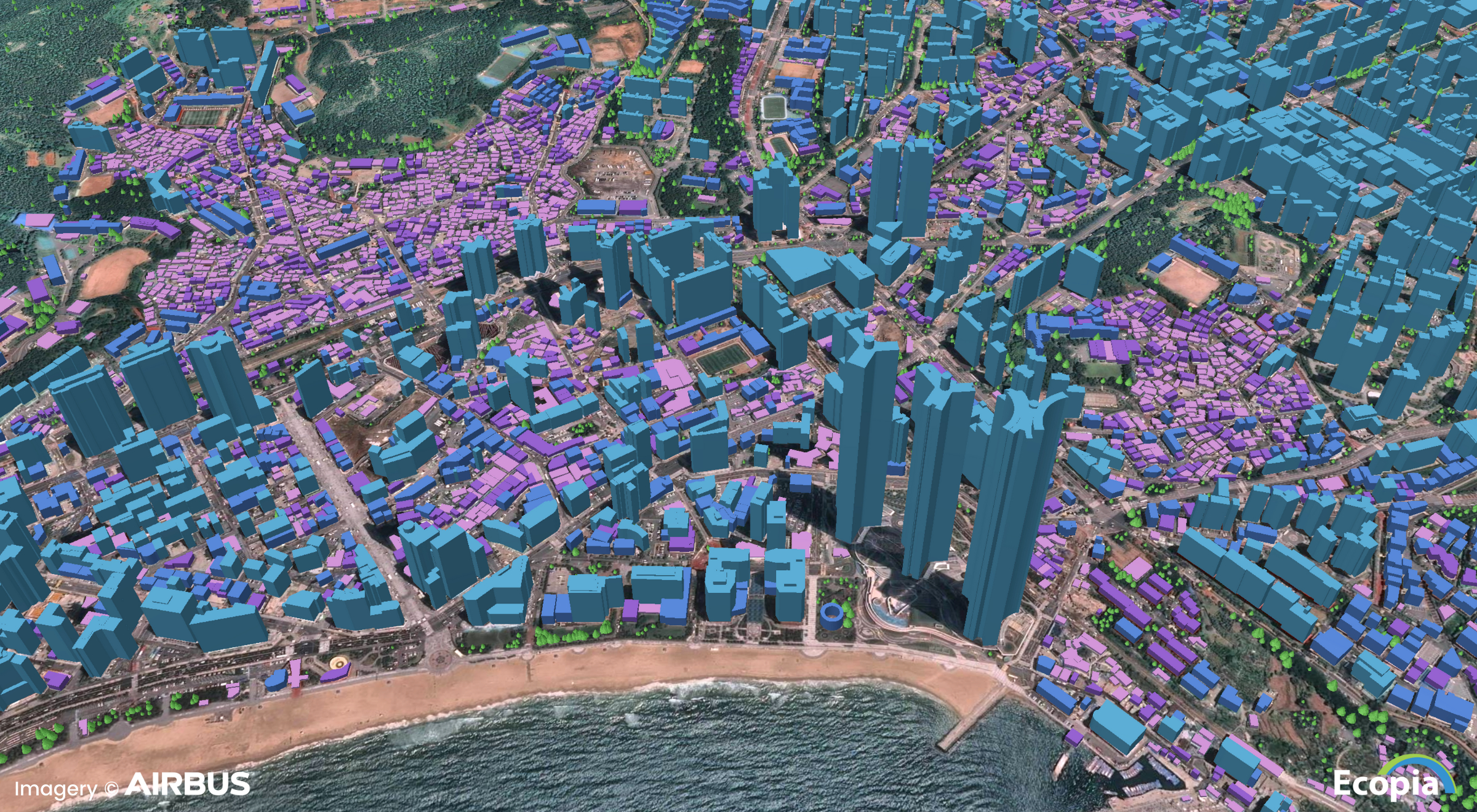
Ecopia leverages advanced AI-based mapping systems to mine the most up-to-date commercially-available geospatial imagery, accessed through its global partner network, outputting high-precision vector maps. For this initiative, Ecopia turned to Airbus for access to their global premium 30-50cm high-resolution imagery database, which is serving as the input imagery for large-scale map content production.
“Ecopia has proven their ability to deliver highly-accurate mapping data at a large-scale with unparalleled speed,” said Snap, Inc subsidiary spokesperson.
“Ecopia’s mission is to digitize the world using AI, offering high-precision mapping data that can serve as digital infrastructure across industries,” said Jon Lipinski, Co-Founder and President at Ecopia. “We are very excited to see a world-leading technology company recognize and trust the quality and accuracy of our data for use in their next-generation applications.”
About Ecopia AI
Ecopia is on a mission to create a digital twin of the Earth. We leverage artificial intelligence to convert high-resolution imagery into high-definition (HD) Vector Maps. These maps form a digital representation of reality and are embedded into decision-making applications, offering unique insight at scale. Ecopia’s HD Vector Maps are leveraged for hundreds of commercial and government applications across over 100 countries around the world. For more information, visit www.ecopia.ai.
Contacts
Harneet Singh
Director, Marketing
Ecopia AI
905-360-1666
harneet@ecopiatech.com