Topcon Launches CR-H1 Handheld Reality Capture Solution for Maximum Mobility
Topcon Launches CR-H1 Handheld Reality Capture Solution for Maximum Mobility
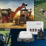
Topcon has announced the CR-H1, a handheld solution that represents one of the latest additions to the company’s Capture Reality portfolio of mass data solutions. The solution is designed for professionals and new users alike, across multiple disciplines, including utilities and subsurface mapping, construction verification and earthworks, civil engineering and site verification, land surveying and forensics, and 3D data capture of built or natural environments.
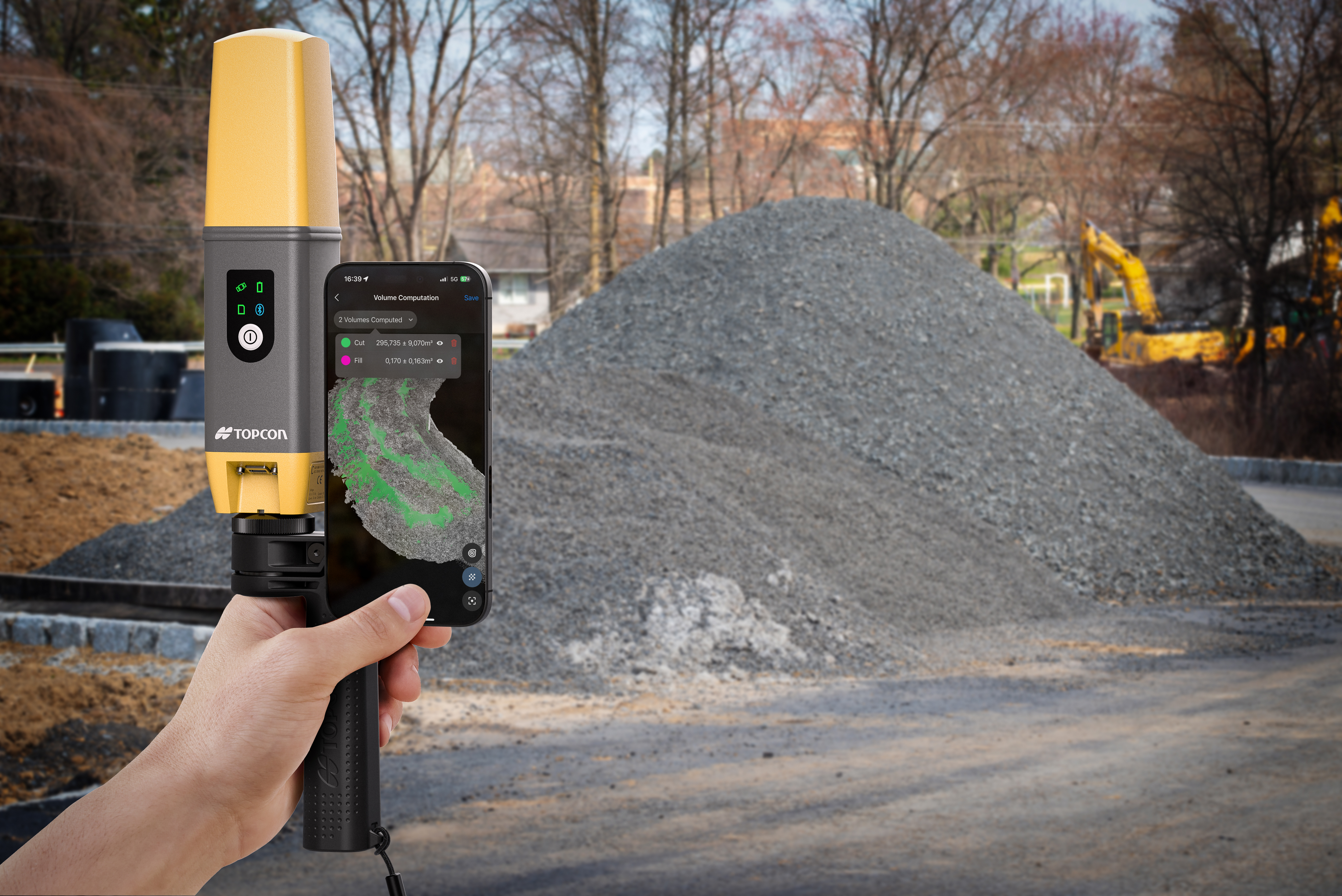
MUNICH--(BUSINESS WIRE)--Topcon Positioning Systems has announced the CR-H1, a handheld solution that represents one of the latest additions to the company’s Capture Reality portfolio of mass data solutions. The system utilizes PIX4Dcatch, a specialized application that runs on iPhone devices with integrated LiDAR that collects images and employs photogrammetry to create detailed, full-color 3D point clouds. The iPhone connects to Topcon’s HiPer CR receiver, enabling the application to collect georeferenced images. The receiver and iPhone are both mounted on a specialized handle designed and manufactured by Topcon, so users can easily capture point clouds without the need for a tripod. The devices needed can quite simply be held in one hand for maximum mobility in the field.
It is part of our commitment to providing innovative solutions in 3D data collection and processing.
Share
The solution is designed for professionals and new users alike, across multiple disciplines, including utilities and subsurface mapping, construction verification and earthworks, civil engineering and site verification, land surveying and forensics, and 3D data capture of built or natural environments.
“The CR-H1 responds to growing market demand for accessible, high-precision reality capture solutions,” said Murray Lodge, executive vice president of Topcon Positioning Systems. “By combining Topcon’s advanced GNSS technology with Pix4D’s industry-leading photogrammetry software, we are providing users with a powerful yet intuitive tool for creating accurate 3D models in the field. It is part of our commitment to providing innovative solutions in 3D data collection and processing.”
The CR-H1 marks the first product launch since Topcon and Pix4D established their strategic cooperation agreement earlier this year, demonstrating the rapid implementation of their collaborative development efforts.
Topnet Live subscriptions are available for the CR-H1, providing real-time GNSS corrections that deliver higher-quality point clouds.
For more information about the Topcon Capture Reality solutions, visit topconpositioning.com/solutions/technology/infrastructure-products/3d-laser-scanners. The solution will be showcased by Topcon in Hall A2, Stand 249, at Bauma 2025, taking place April 7-13 in Munich, Germany.
About Topcon Positioning Systems
Topcon Positioning Systems is an industry-leading designer, manufacturer and distributor of precision measurement and workflow solutions for the global construction, geospatial and agriculture markets. Topcon Positioning Systems is headquartered in Livermore, California, U.S. (topconpositioning.com, LinkedIn, X, Facebook, Instagram). Its European head office is in Zoetermeer, Netherlands. Topcon Corporation (topcon.com), founded in 1932, is traded on the Tokyo Stock Exchange (7732).
Contacts
Press Contacts:
Staci Fitzgerald
Topcon Positioning Systems
corpcomm@topcon.com
+1 925-245-8610