Topcon 3D Leveling System Now Compatible With New Dynapac Highway Paver Series
Topcon 3D Leveling System Now Compatible With New Dynapac Highway Paver Series
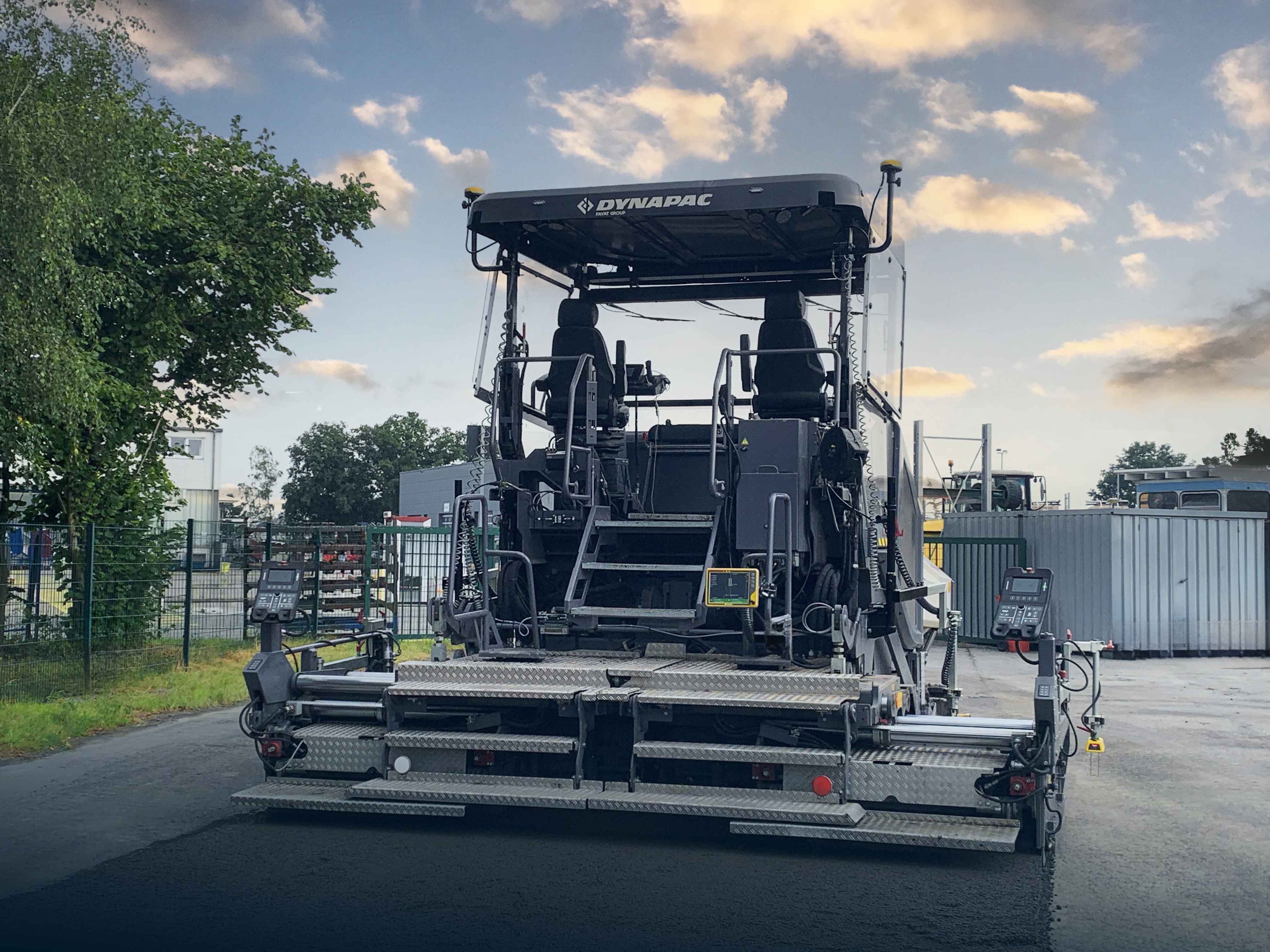
MUNICH--(BUSINESS WIRE)--Topcon Positioning Systems has announced that its MC-Max Asphalt paving system has been confirmed compatible with the Dynapac SD25 and XD25 Highway Paver series, enabling automatic control of height, steering, and screed width for enhanced paving precision and efficiency. Following successful testing, Dynapac has issued formal confirmation of the integration’s effectiveness. This development streamlines the implementation of Topcon advanced machine control technology for Dynapac paver operators.
This compatibility addresses several industry challenges, particularly the growing need for labor efficiency in the paving sector.
Share
“This integration with Dynapac’s latest paver series demonstrates our commitment to providing seamless automation solutions across major equipment brands,” said Murray Lodge, executive vice president at Topcon Positioning Systems. “This compatibility addresses several industry challenges, particularly the growing need for labor efficiency in the paving sector. By offering automatic height, slope, and width control through Dynapac’s Open Interface, we’re helping contractors address labor efficiency challenges while delivering higher-quality paving results. The automated control capabilities reduce the number of personnel required on the paver while simultaneously improving paving precision and consistency.”
The Open Interface 3D hardware comes standard on all Dynapac SD25 and XD25 Highway Pavers shipped by Dynapac.
“The offering delivers multiple operational benefits for contractors and paving crews. Users can achieve compliance with increasingly tight project tolerances while gaining enhanced operational efficiency through connected workflow processes. The system’s intuitive operation reduces operator training requirements, allowing crews to quickly adopt the technology, and the improved surface quality resulting from the precise control leads directly to increased project profitability and reduced material waste,” Lodge said.
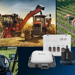
The Topcon MC-Max Asphalt paving system utilizes GNSS positioning, Millimeter GPS, and optical total stations for 3D millimeter accurate positioning of the screed height. With Topcon RD-MC grade control for differential surfaces, Dynapac’s ultrasonic tracking and slope sensors are utilized to automatically control the paver according to design specification, eliminating the need for string lines and reducing material waste while ensuring consistent layer thickness is achieved.
The MC-Max Asphalt paving system will be showcased at Topcon’s exhibit in Hall A2, Stand 249 at Bauma 2025, taking place April 7-13 in Munich, Germany. For more information about machine control solutions for asphalt paving, visit topconpositioning.com/paving.
About Topcon Positioning Systems
Topcon Positioning Systems is an industry-leading designer, manufacturer and distributor of precision measurement and workflow solutions for the global construction, geospatial and agriculture markets. Topcon Positioning Systems is headquartered in Livermore, California, U.S. (topconpositioning.com, LinkedIn, X, Facebook, Instagram). Its European head office is in Zoetermeer, Netherlands. Topcon Corporation (topcon.com), founded in 1932, is traded on the Tokyo Stock Exchange (7732).
Contacts
Press Contact:
Staci Fitzgerald
Topcon Positioning Systems
corpcomm@topcon.com
+1 925-245-8610