Topcon Expands Road Construction Technology Portfolio With New Workflow Solutions for Scanning, Paving, and Compaction
Topcon Expands Road Construction Technology Portfolio With New Workflow Solutions for Scanning, Paving, and Compaction
LIVERMORE, Calif.--(BUSINESS WIRE)--Topcon Positioning Systems has announced the expansion of its road construction portfolio, including improvements for road surface scanning, expanded aftermarket solutions for pavers, and a new solution for soil compactors and asphalt rollers.
The industry needs innovative approaches to resurface roads efficiently with long-lasting results, and these latest solutions are a step forward.
Share
“Topcon has a rich history of innovation, with its construction technology used to build and maintain roads, runways, and even racetracks around the world. We continue to strengthen the intelligent paving portfolio to meet evolving infrastructure needs, and the productivity demands placed on the industry,” said Murray Lodge, executive vice president of Topcon Positioning Systems. “Contractors face ever-decreasing margins, tighter specifications, and an increasing focus on meeting sustainability targets, while municipalities face ever-growing infrastructure development and maintenance challenges. The industry needs innovative approaches to resurface roads efficiently with long-lasting results, and these latest solutions are a step forward.”
Scanning
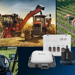
A new version of the mobile LiDAR scanner — the RD-M2 — is introduced. The scanner is part of the longstanding SmoothRide solution, which is designed to minimize road closures, shorten planning times and optimize processes when evaluating road surfaces while keeping crews safe. The scanner utilizes an integrated GNSS receiver, and the new version includes the ability to track more satellite constellations for added accuracy and options on the job site.
Paving
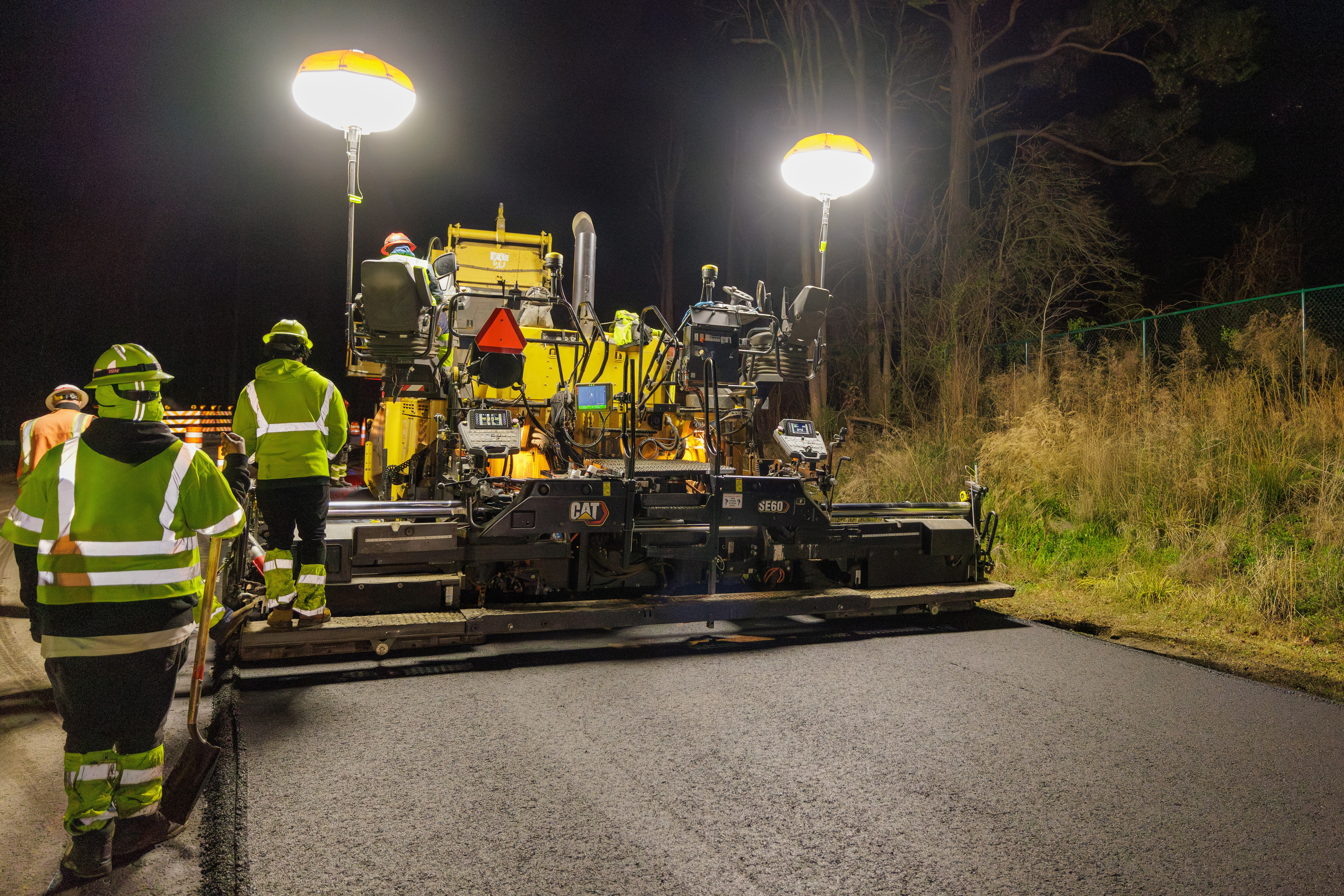
Topcon also introduces the new MC-Max Paving aftermarket solution to control screed height, width and steering for integrated pavers. The system was previously compatible with OEM CAN-based systems and is now expanded to a brand-generic aftermarket solution to control screed height on all major asphalt paver brands. The solution is built on the MC-X machine control platform, an architecture that provides highly customized systems and upgradeability paths to grow with a contractor’s needs.
Compaction
A new solution for soil and asphalt compaction has been developed. Topcon’s roller management system ensures consistent, high-quality pavement and base layers by leveraging real-time data and automation to optimize the compaction process, reduce rework, and meet project specifications efficiently. It is equipped with a wireless Android display, and positioning sensors can be interchanged between GPS and robotic total station-based systems. Additional options and sensors can be added depending on the customer requirements, such as temperature sensors and accelerometers.
More Information
For more information on the Topcon paving portfolio, visit topconpositioning.com/paving. Topcon road construction solutions will be showcased at the World of Asphalt event in St. Louis, Missouri, U.S.A., March 25-27, and Bauma 2025 in Munich, Germany, on April 7-13.
About Topcon Positioning Systems
Topcon Positioning Systems is an industry-leading designer, manufacturer and distributor of precision measurement and workflow solutions for the global construction, geospatial and agriculture markets. Topcon Positioning Systems is headquartered in Livermore, California, U.S. (topconpositioning.com, LinkedIn, X, Facebook, Instagram). Its European head office is in Zoetermeer, Netherlands. Topcon Corporation (topcon.com), founded in 1932, is traded on the Tokyo Stock Exchange (7732).
Contacts
Press Contacts:
Staci Fitzgerald
Topcon Positioning Systems
corpcomm@topcon.com
+1 925-245-8610