Topcon and Pix4D Collaborate to Advance Photogrammetry Solutions
Topcon and Pix4D Collaborate to Advance Photogrammetry Solutions
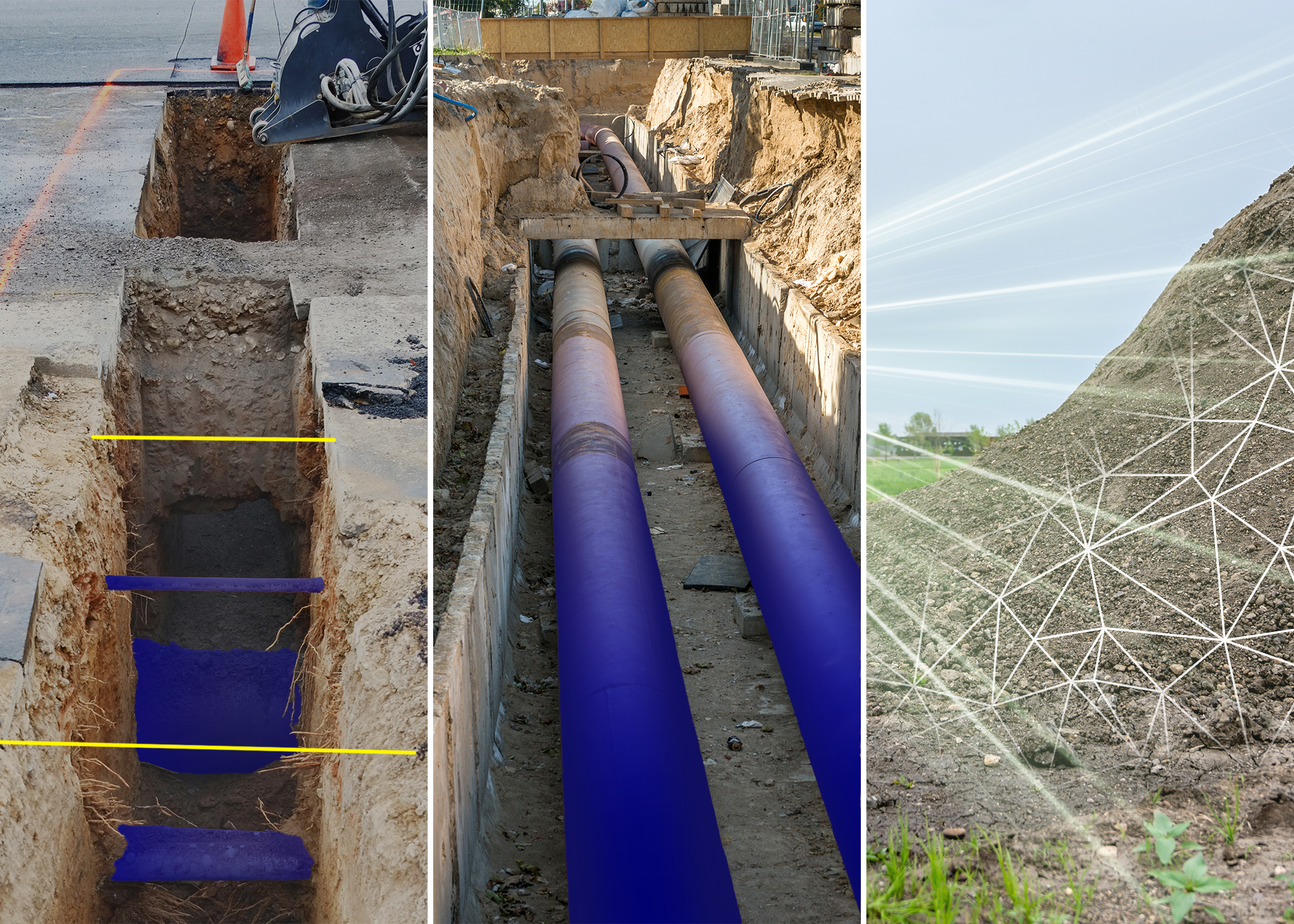
LIVERMORE, Calif.--(BUSINESS WIRE)--Topcon Positioning Systems and Pix4D have announced a strategic agreement that combines their expertise in geopositioning and photogrammetry solutions. The collaboration includes Topcon becoming an authorized distributor of Pix4D’s photogrammetry software portfolio, which offers their customers even greater access to high-precision positioning and 3D mapping technologies.
This strategic alignment strengthens the delivery of advanced reality capture solutions across a broad spectrum of industries. Professionals in surveying and mapping, architecture, engineering, and construction (AEC), energy and utilities infrastructure, and public safety and forensics will all benefit from enhanced access to these integrated technologies.
“The integration of Topcon’s precision positioning technology with Pix4D’s photogrammetry expertise is another great example of the type of collaboration the geospatial industry has always thrived on,” said Murray Lodge, executive vice president of Topcon Positioning Systems. “This will provide professionals with seamless access to industry-leading solutions that combine our complementary technologies.”
“The agreement on close collaboration with Topcon marks an important milestone in Pix4D growth strategy,” said Andrey Kleymenov, CEO at Pix4D. “A combination of precision positioning technology from Topcon and advanced photogrammetry and GeoFusion algorithms from Pix4D creates a powerful set of solutions for professionals in the utilities, infrastructure, and horizontal construction markets globally.”
The agreement enables customers to access Pix4D’s advanced photogrammetry software solutions through Topcon’s established global distribution network, streamlining the procurement process for end-users while ensuring comprehensive technical support.
About Topcon Positioning Systems
Topcon Positioning Systems is an industry-leading designer, manufacturer and distributor of precision measurement and workflow solutions for the global construction, geospatial and agriculture markets. Topcon Positioning Systems is headquartered in Livermore, California, U.S. (topconpositioning.com, LinkedIn, X, Facebook, Instagram). Its European head office is in Zoetermeer, Netherlands. Topcon Corporation (topcon.com), founded in 1932, is traded on the Tokyo Stock Exchange (7732).
About Pix4D:
Pix4D is a global leader in photogrammetry software based in Lausanne, Switzerland with offices in the USA, Germany, Spain, Romania, and Japan. The company develops end-to-end mapping solutions that convert images into survey-grade georeferenced maps, 3D models, and other business-critical insights using advanced algorithms based on computer vision, photogrammetry, and machine learning.
Contacts
Press Contacts:
Staci Fitzgerald
Topcon Positioning Systems
corpcomm@topcon.com
+1 925-245-8610
Cristina López
Pix4D
cristina.lopez@pix4d.com