Topcon Announces Landmark Expansion of Topnet Live Network Across USA
Topcon Announces Landmark Expansion of Topnet Live Network Across USA
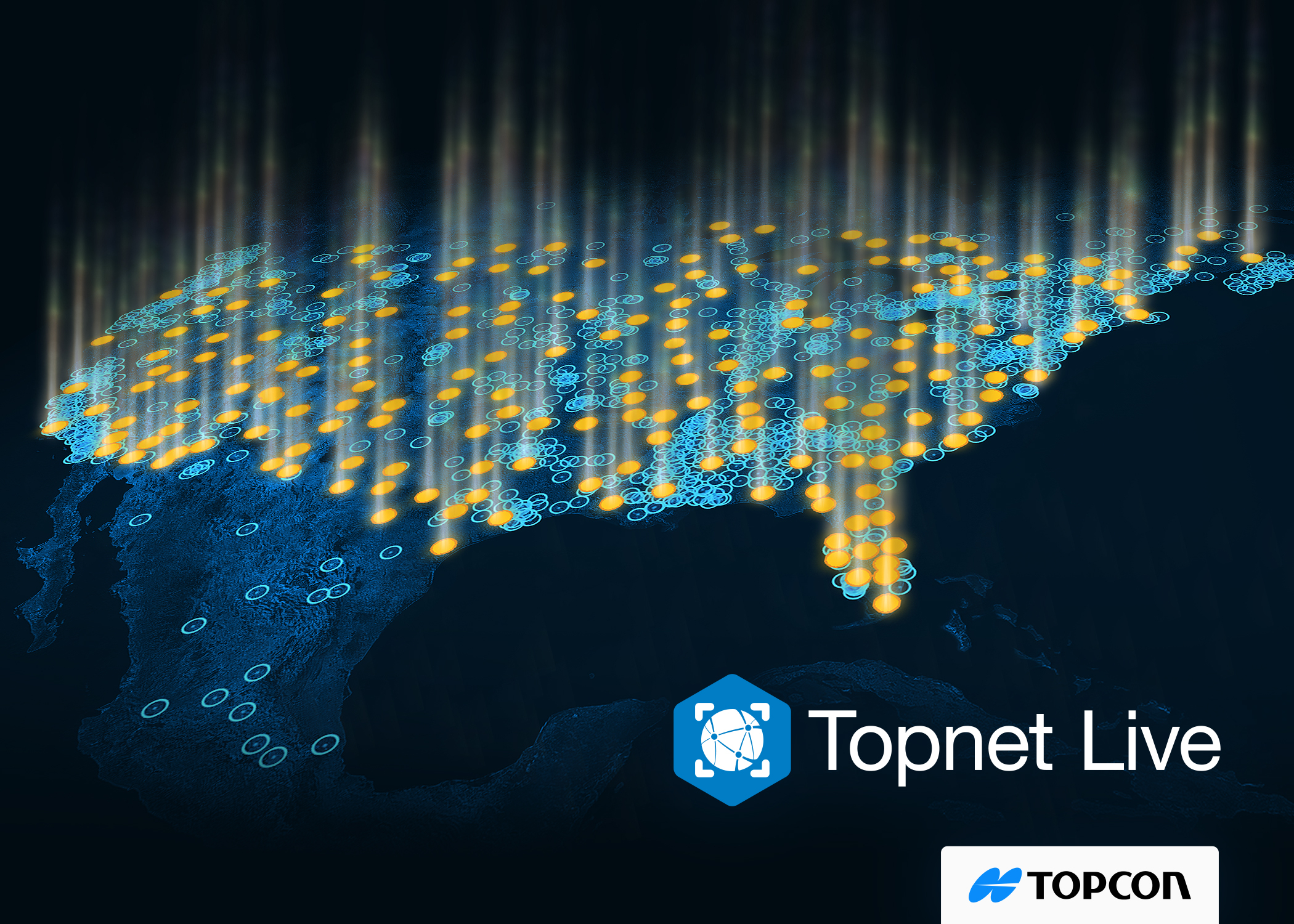
LIVERMORE, Calif.--(BUSINESS WIRE)--Topcon Positioning Systems has announced a significant expansion of its Topnet Live reference station network, introducing 200 new geodetic stations strategically positioned across the United States. This comprehensive network upgrade expands the availability of advanced centimeter-level accuracy for precision-critical industries, including engineering, surveying, construction, and agricultural sectors.
The expanded network delivers sophisticated network corrections that streamline operational workflows across multiple market segments. Beyond traditional applications, the enhanced infrastructure supports sophisticated technologies in diverse areas, such as automated turf management, precision line marking, imaging systems, and unmanned aerial vehicle (UAV) mapping and delivery operations.
“This unprecedented network expansion represents our commitment to providing cutting-edge geospatial solutions for all industries,” said Jason Killpack, director of business development for Topcon Emerging Business. “With these latest additions and our efforts throughout 2024, we have grown Topnet Live total coverage by 30% in the U.S. Our services are empowering users in a multitude of market segments through comprehensive, network-modeled solutions that address a broad range of professional requirements.
“Our decision to continuously expand the Topnet Live network is the direct result of our dedication to technological leadership, combined with our dedication to the people of the industries we serve. Topnet Live continues to set industry benchmarks, maintaining the most extensive international reach in global markets. We remain committed to delivering unparalleled service and outcomes for our customers and partners.”
For information, visit topconpositioning.com.
About correction services
In order to provide precise positioning accuracy, a GNSS receiver needs to compensate for inaccuracies caused by satellite constellations, receiver hardware and atmospheric conditions. These inaccuracies can be calculated by a network of fixed reference stations that constantly receive GNSS data. This correction information is then broadcast to GNSS receivers as a service.
About Topnet Live
Topnet Live is a global NTRIP correction and GNSS data provider. Topnet Live serves the GNSS corrections and data markets in Asia Pacific, the Americas and Europe.
About Topcon Positioning Systems
Topcon Positioning Systems is an industry-leading designer, manufacturer and distributor of precision measurement and workflow solutions for the global construction, geospatial and agriculture markets. Topcon Positioning Systems is headquartered in Livermore, California, U.S. (topconpositioning.com, LinkedIn, X, Facebook, Instagram). Its European head office is in Zoetermeer, Netherlands. Topcon Corporation (topcon.com), founded in 1932, is traded on the Tokyo Stock Exchange (7732).
Contacts
Press Contact:
Staci Fitzgerald
Topcon Positioning Systems
corpcomm@topcon.com
+1 925-245-8610