Maxar Intelligence and Lockheed Martin Expand Partnership to Enhance the F-35 Full Mission Simulator Experience
Maxar Intelligence and Lockheed Martin Expand Partnership to Enhance the F-35 Full Mission Simulator Experience
WESTMINSTER, Colo.--(BUSINESS WIRE)--Maxar Intelligence, a provider of secure, precise, geospatial intelligence, announced today a long-term agreement with Lockheed Martin to streamline the procurement and delivery of Maxar’s geospatial products for the F-35 Full Mission Simulator (FMS) flight simulation and training system.
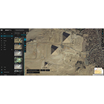
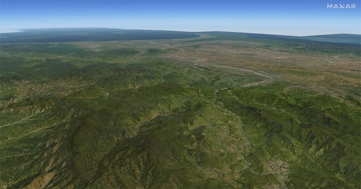
Maxar’s industry-leading 2D and 3D products serve as the geospatial foundation for the FMS, which provides a realistic representation of real-world operating environments to enhance pilot training and mission rehearsal. The new agreement establishes standardized pricing, licensing, and requirements for several Maxar products, including Dynamic basemaps and Precision3D, enabling F-35 customers to begin training and mission preparedness operations faster.
“Maxar Intelligence is excited to expand on our long-standing partnership with Lockheed Martin and further improve the F-35 Full Mission Simulator experience, which represents an industry gold standard for immersive training and mission readiness support,” said Susanne Hake, General Manager, U.S. Government, Maxar Intelligence. “Maxar’s geospatial products, particularly Precision3D, are critical to the success of this system. They enable the highly accurate, precise simulated real-world environments that are brought to life in the FMS, creating an immersive experience that helps improve pilot safety and enhance mission success.”
Maxar’s Precision3D Data Suite provides highly accurate and detailed 3D models of Earth with 50-centimeter resolution and absolute accuracy of 3 meters in all dimensions. The accuracy is achieved without ground control and is consistent on all surfaces and terrain types, including building facades. Precision3D provides a precise, true representation of Earth that not only reflects the terrain in all dimensions but also provides an accurate foundation for additional data sources through Precision3D Registration (P3DR™) georegistration.
In addition to Precision3D, the agreement covers Maxar’s Dynamic imagery basemaps, which utilize the latest innovations in mosaicking, color balancing and image processing to produce high-resolution, high-accuracy image layers configured to meet specific customer requirements.
About Maxar Intelligence
Maxar Intelligence is a provider of secure, precise, geospatial intelligence. We deliver disruptive value to government and commercial customers to help them monitor, understand and navigate our changing planet. Our unique approach combines decades of deep mission understanding and a proven commercial and defense foundation to deploy solutions and deliver insights with unrivaled speed, scale and cost effectiveness. For more information, visit www.maxar.com.
Contacts
Gia DeHart
Director, Communications (US Government)
Gia.dehart@maxar.com