
")
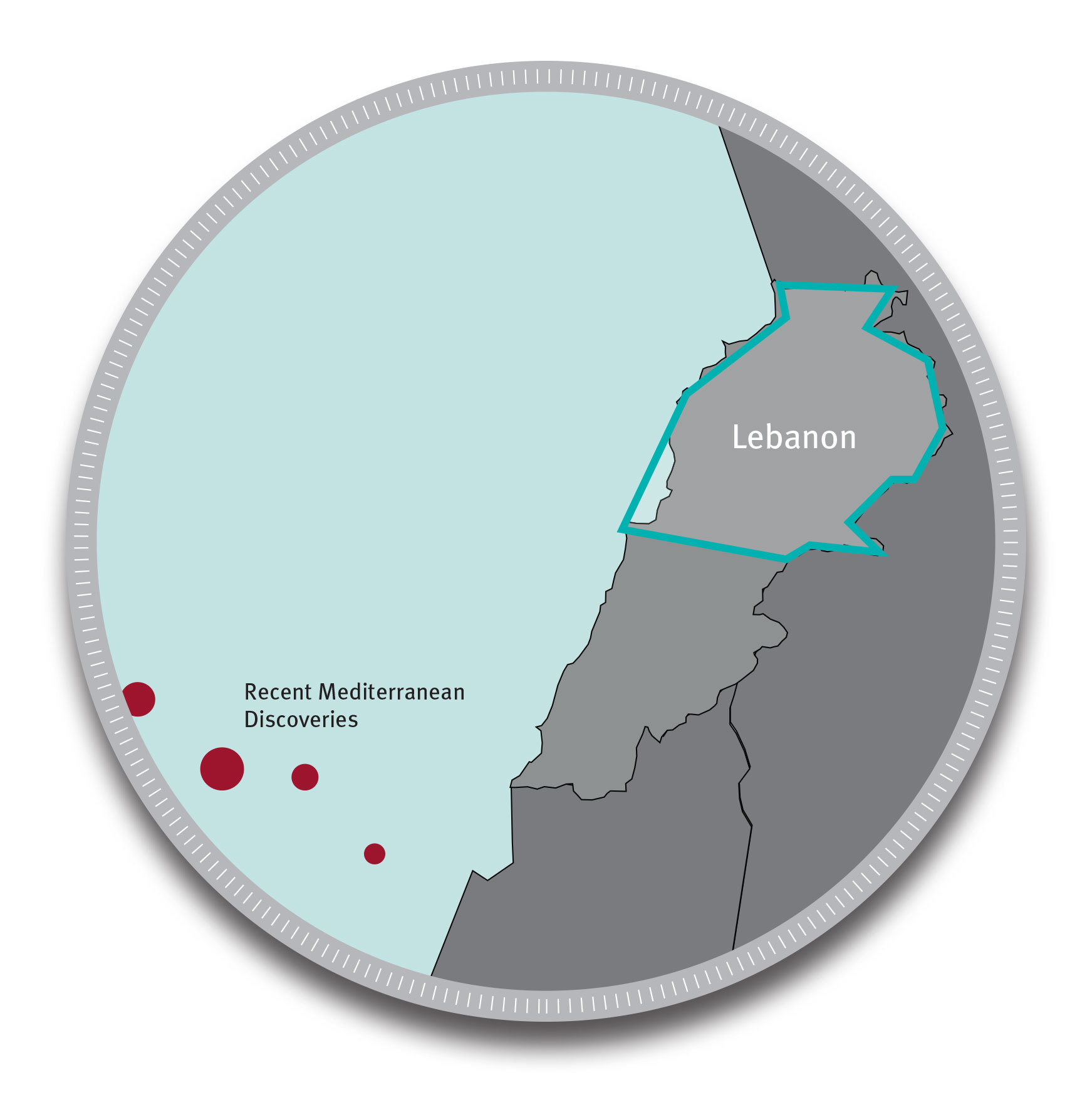
HOUSTON--(BUSINESS WIRE)--NEOS GeoSolutions, Inc. today announced that it has secured the underwriting needed to launch an integrated geological and geophysical program covering onshore Lebanon. This neoBASIN™ survey covers 6,000 square kilometers over the northern half of Lebanon, from the Mediterranean coast to the Syrian border. The project, which is completely underwritten, is being executed under a multi-client licensing model with the full support of both the Lebanon Ministry of Energy and Water and PetroServ, NEOS’s local partner.
Frank Jreij, Vice President and General Manager for the Middle East and North Africa region at NEOS, commented, “Exploration interest in the eastern Mediterranean region has increased substantially in the last several years, driven in large part by the very large gas discoveries made by several E&P operators offshore. Geoscientists are curious about the broader, regional implications of these offshore discoveries, as well as understanding how Syrian onshore petroleum systems extend into Lebanon. Our neoBASIN survey has been designed to map the regional prospectivity of northern Lebanon by integrating legacy well and 2-D seismic data with newly acquired airborne geophysical datasets. Among other things, our geoscientists will work with the program’s underwriters to identify the relationships among key geologic features that extend into the survey area from offshore structures and from Syria’s onshore petroleum systems, as well as to efficiently highgrade acreage across the survey area in order to support future leasing, drilling, and G&G investment decisions.”
Anticipated project deliverables include:
- Maps of naturally occurring, surface-based oil seeps and indirect hydrocarbon indicators;
- Maps of basement topography and key structural and stratigraphic horizons;
- Basement-to-surface maps highlighting local faults (including the Dead Sea fault north extension) lineaments, and intrusives;
- 2-D cross-sections and regional 3-D structural models of the subsurface, including geologic trends that can be extrapolated into the survey area from Syria or recent discoveries that have been made offshore in the eastern Mediterranean;
- Maps of key reservoir intervals of interest, including isopach, burial depth, and depth-to-basement maps of these horizons;
- Regional resistivity voxels down to ~10,000 feet subsurface, along with resistivity cross-sections and depth slices in areas of heightened geologic interest;
- Regional ‘highgraded acreage maps’ depicting the most (and least) prospective areas for leasing, drilling, and/or further G&G study and investment.
Mr. Samer Bechaalani, General Manager of PetroServ added, “We are proud to be NEOS’s exclusive partner for regional reconnaissance surveys in Lebanon. The advanced geophysical technologies and methodologies utilized by NEOS will provide a comprehensive, cost-effective subsurface knowledge library that geoscientists in the E&P companies will be able to access within a year to guide their acreage licensing and exploration decisions.”
H.E. Mr. Gebran Bassil, Minister of Energy and Water in Lebanon, commented, “This new contract with NEOS aims at continuing petroleum exploration in Lebanon onshore and offshore. This project enables Lebanon to start onshore exploration from a new angle which is the multi-measurement interpretation of data from the airborne survey. It will consolidate prospectivity and expands the available perspectives in order to link offshore with onshore, which gives new hope for the future of Lebanon as an oil & gas producing country.”
NEOS plans to begin acquiring the required magnetic, electro-magnetic, radiometric, gravity, and hyperspectral datasets by the second quarter of 2014. Data should be available for license to non-underwriters by the fourth quarter of 2014.
To learn more about NEOS and the applications of multi-measurement interpretation methods for oil & gas exploration, visit: neosgeo.com/resources.
About NEOS GeoSolutions
NEOS helps exploration teams in the onshore oil & gas and mining industries make faster, more informed decisions about where to explore, lease and drill. In partnership with its clients, NEOS acquires and simultaneously interprets multiple geological, geophysical, and geochemical datasets to identify hydrocarbons and minerals in the subsurface. The company is backed by a group of internationally recognized investors, including: Bill Gates, Energy Capital Group, Goldman Sachs, Kleiner Perkins Caufield & Byers, and Passport Capital. For more information, visit www.neosgeo.com.